The Role of Drones in Geospatial Data Collection: Advancements and Applications
The rapid advancement in drone technology is revolutionizing industries globally, with geospatial data collection being one of the primary areas reaping substantial benefits. Drones, or Unmanned Aerial Vehicles (UAVs), are increasingly used in geospatial data acquisition because they provide a flexible, cost-effective, and high-resolution alternative to traditional methods like satellite and manned aerial surveys. As a result, the fields of urban planning, environmental monitoring, agriculture, mining, and emergency management have witnessed major improvements in data collection efficiency and quality.
How Drones are Transforming Geospatial Data Collection
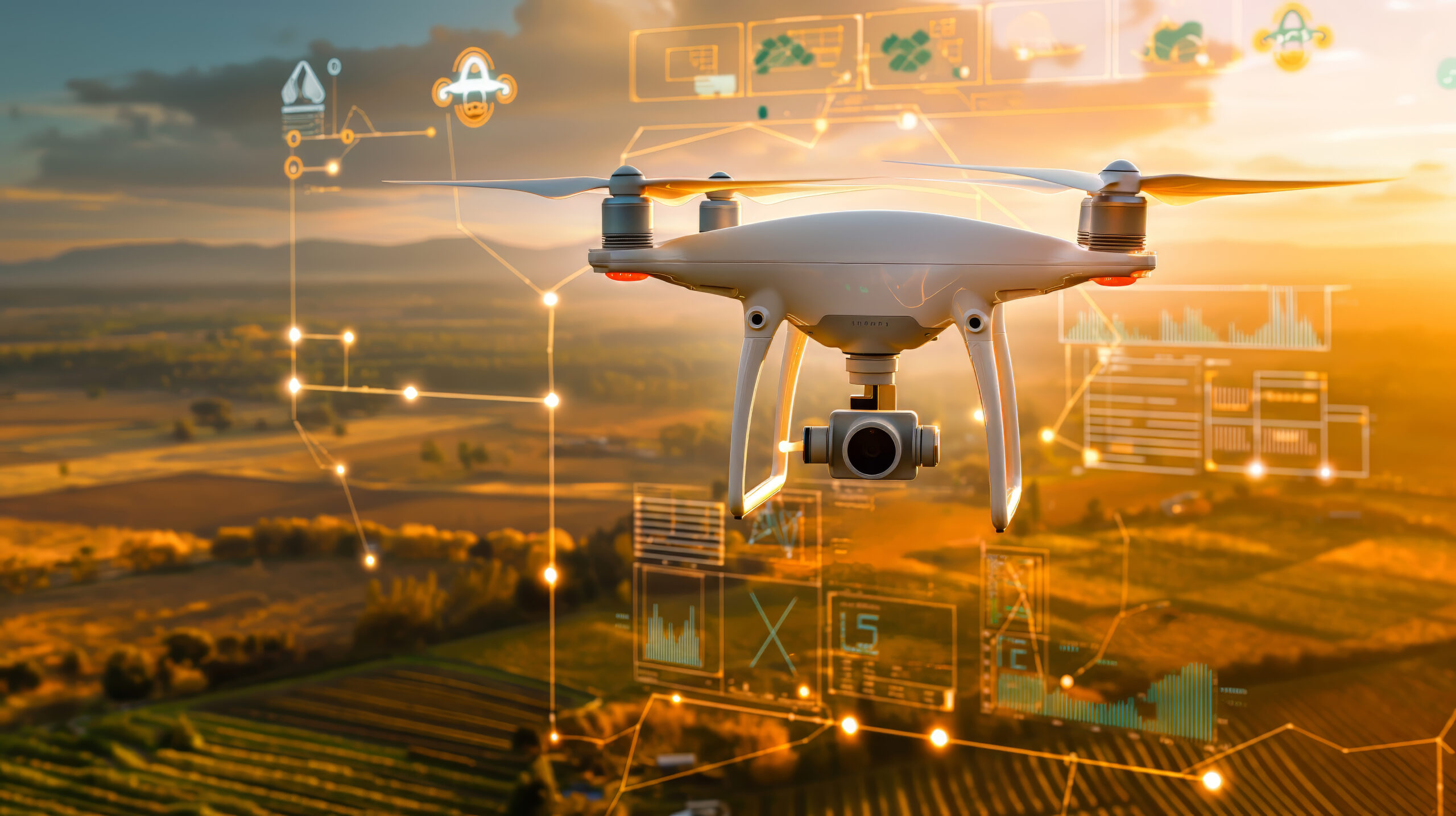
Drones are equipped with various sensors, such as RGB cameras, LiDAR, multispectral, and thermal sensors, which allow them to capture high-resolution images and other valuable data. This flexibility in sensor usage enables drones to perform diverse tasks from capturing detailed terrain models to assessing vegetation health. Here’s how drones are reshaping geospatial data collection:
- Enhanced Spatial Resolution and Accuracy
Drones capture high-resolution data at lower altitudes, yielding highly accurate and detailed maps. Traditional satellite images often lack the resolution needed for precise measurements due to their high orbital altitude and atmospheric interference. UAVs fly closer to the target, producing data with resolutions up to a few centimeters per pixel, depending on the sensor, making them ideal for precision mapping applications. - Cost-Effectiveness and Time Efficiency
Traditional aerial surveys using manned aircraft are expensive and may take weeks or months to schedule and execute. Drones, however, provide a cost-effective solution by reducing the need for large crews and heavy equipment. They can be deployed quickly, operate in shorter survey intervals, and capture high-quality data within hours or days, making them especially useful in projects that demand rapid and repetitive surveys, like monitoring construction sites or environmental changes. - Improved Accessibility to Challenging Terrain
In regions where it is dangerous or impractical to conduct on-the-ground surveys, such as rugged mountains, disaster zones, or dense forests, drones offer a safe and efficient alternative. They can access hard-to-reach or hazardous locations, capturing data without putting human lives at risk. This advantage makes drones invaluable for tasks like disaster assessment, search and rescue, and forest monitoring. - Real-Time Data Collection and Analysis
Drones enable real-time data collection and transfer, allowing for on-the-fly data analysis. For example, in disaster response scenarios, drones can instantly relay imagery to response teams, facilitating quick decision-making. The real-time capability is also beneficial for tracking dynamic environments, such as shifting coastlines or rapidly changing urban landscapes.
Key Applications of Drones in Geospatial Data Collection
The use of drones in geospatial data collection has led to applications across various fields, each benefiting uniquely from the technology’s versatility. Some of the major applications include:
- Urban Planning and Infrastructure Development
Drones allow urban planners to capture high-resolution maps of cities and monitor development projects in real-time. UAVs also aid in land-use planning, ensuring that cities can manage growth sustainably. With regular drone surveys, planners can monitor changes in infrastructure, detect encroachments, and assess environmental impacts. - Agriculture and Forestry
Drones equipped with multispectral sensors help in monitoring crop health, assessing soil conditions, and managing irrigation. They enable farmers to optimize their use of resources by identifying nutrient deficiencies or pest infestations early. In forestry, drones are used to track tree health, measure biomass, and monitor deforestation rates, assisting in forest management and conservation efforts. - Mining and Quarrying
In the mining industry, drones provide high-precision topographical data for exploration and planning. UAVs help monitor stockpile volumes, track environmental impact, and maintain operational safety. They are also invaluable for detecting hazardous conditions and for monitoring remote mining sites. - Environmental Monitoring and Conservation
Drones help environmental scientists track changes in ecosystems, such as coastline erosion, glacier retreat, and deforestation. They also play a crucial role in biodiversity conservation by tracking wildlife movements, mapping habitats, and monitoring human impact on protected areas. - Disaster Management and Emergency Response
Following natural disasters, drones are deployed to assess damage, locate survivors, and map disaster-hit areas. UAVs can cover large areas quickly, delivering high-resolution images that allow for accurate damage assessments and inform rescue operations. Their flexibility and speed make them indispensable in rapid-response situations.
Technologies Enabling Drone-Based Geospatial Data Collection
The effectiveness of drones in geospatial applications is largely driven by advancements in the technology of onboard sensors and software. Key components include:
- LiDAR (Light Detection and Ranging): LiDAR-equipped drones create precise, three-dimensional representations of the ground surface, even through dense vegetation. This capability is highly valued in forestry, archaeology, and topographic mapping.
- Multispectral and Hyperspectral Imaging: These sensors are used in agriculture to assess plant health, soil composition, and water content. They are also useful in environmental monitoring, as they can differentiate between vegetation types and detect changes in land cover.
- Thermal Imaging: Thermal sensors detect temperature variations, which are useful for applications such as monitoring irrigation in agriculture, identifying heat leaks in buildings, or spotting wildlife.
- Photogrammetry Software: By using photogrammetry, drone images are processed to create 3D maps and models. This software is integral to transforming raw data into actionable insights in various geospatial applications.
Lighthouse Data Analytics
is a forward-thinking data analytics and consulting firm dedicated to empowering businesses with actionable insights and innovative solutions. With a multidisciplinary team of experts, we specialize in transforming complex data into clear, strategic, and impactful decisions.
Contact Us
- info@lighthouseanalytics.co.za
- +27-66-091-2938