The Role of Drones in Geospatial Data Collection: Advancements and Applications
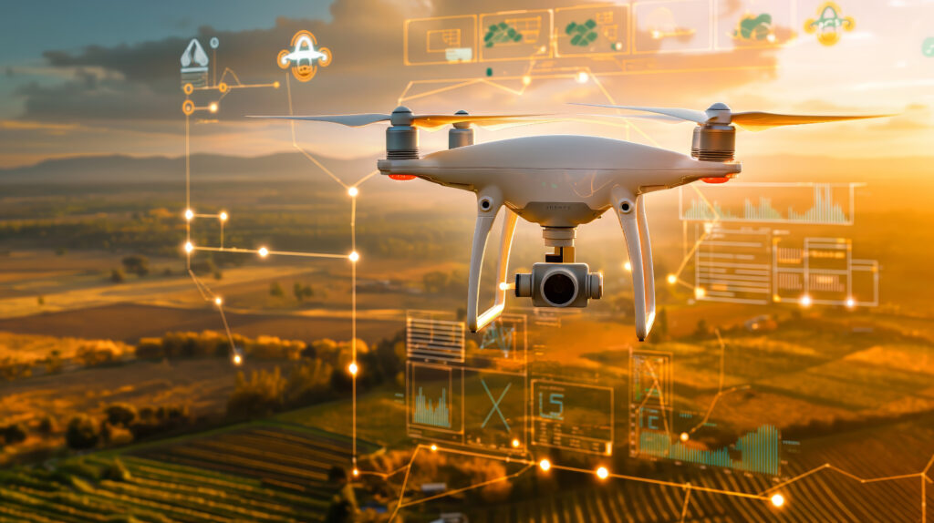
The Role of Drones in Geospatial Data Collection: Advancements and Applications The rapid advancement in drone technology is revolutionizing industries globally, with geospatial data collection being one of the primary areas reaping substantial benefits. Drones, or Unmanned Aerial Vehicles (UAVs), are increasingly used in geospatial data acquisition because they provide a flexible, cost-effective, and high-resolution […]